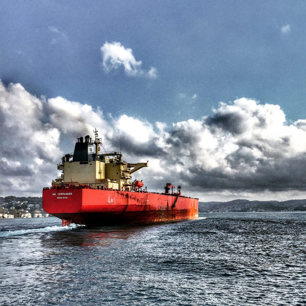
Real-time Vessel Tracking API
With the Vessel Tracking API, anyone can easily track live ship positions in any country. The ship data is readily available and accessible for users on a global scale and in real-time.
Here’s what you need to know about the Vessel Tracking API:
- Real-time data of vessels worldwide.
- Essential vessel details: name, MMSI, IMO, ENI, Country ISO, Type, Type-specific info, latitude, longitude, speed, course, heading, navigation status, and destination.
- Timestamps for the last position updates
- Estimated Time of Arrival based on the European Parallel Operating System (Chorus)

What is the historical vessel location tracking API?
The Vessel API makes accessing data as easy as possible, and positions all data from every sensor, system, machine, and vessel, everywhere in the world that are picked up by Terrestrial AIS stations or Satellites.
Indeed, it allows you to receive real-time data on:
- Vessel Name: The name of the tracked vessel, which helps identify and distinguish it from other ships.
- MMSI (Maritime Mobile Service Identity): A unique 9-digit number assigned to each ship, used for communication and identification purposes in maritime communication systems.
- IMO (International Maritime Organization) number: A unique identification number assigned to each seagoing vessel by the International
- Maritime Organization, facilitating global vessel identification.
- ENI (European Number of Identification): A unique identifier used for inland waterway vessels operating in European waterways, enabling proper tracking and recognition.
- Country ISO (Country ISO code): The standardized two-letter code representing the country to which the vessel is registered or flagged.
- Type (vessel type): The categorization of the vessel based on its type, such as cargo ship, tanker, container vessel, fishing boat, etc.
- Type-specific information: Additional details specific to the vessel’s type, providing more in-depth characteristics and specifications.
- Latitude: The angular distance of the vessel’s position north or south of the equator, measured in degrees.
- Longitude: The angular distance of the vessel’s position east or west of the Prime Meridian, measured in degrees.
- Speed: The current speed of the vessel, typically measured in knots or nautical miles per hour.
- Course: The direction in which the vessel is moving, measured in degrees from the north in a clockwise direction.
- Heading: The direction the vessel’s bow (front) is pointing at, measured in degrees from the north in a clockwise direction.
- Navigation status: Indicates the vessel’s current navigation status, such as “underway using engine,” “at anchor,” “moored,” etc.
- Destination: The intended final port or location where the vessel is heading.
- Last position epoch: The timestamp in a specific format representing the last recorded position update of the vessel.
- Last position UTC (Coordinated Universal Time): The date and time (in UTC) of the vessel’s last recorded position.
- Estimated Time of Arrival (ETA) based on European Parallel Operating System (EPoS) using Chorus: The anticipated time when the vessel is expected to reach its destination, calculated using the European Parallel Operating System with the Chorus data.
- ETA UTC (Coordinated Universal Time): The date and time (in UTC) of the vessel’s estimated arrival at its destination.
Access a large maritime database powered by terrestrial stations where they receive the signal from the vessel in raw format and then transforms it with an ETL method. We store vessel tracking data in our maritime database that can be accessed by anyone through a subscription package.
Vessel tracking API covers about:
- 1,000,000 Vessels
- 21000 Ports
- Global Maritime Coverage
- 306 Vessel types

How to access real-time vessel tracking data?
Using the API key assigned to the subscription, you can instantly access the available data and start tracking vessels in real-time. This endpoint was designed to allow users (developers, enthusiasts, Ph.D. students, business owners, etc.) to track vessels and retrieve data about their voyage and location in an easy way. It provides all the necessary information to help them determine the vessel’s status.
Vessel API documentation:
The API documentation contains guidelines that help you adequately utilize and incorporate the API in your vessel tracking project.
Vessel Tracking API Request Example
📌 Example Pro Live Ship Tracking API Request:
https://api.datalastic.com/api/v0/vessel_pro?api-key={YOUR_API_KEY}&{PARAMETER}={PARAMETER_NUMBER}
📌 Request Parameters:
api-key: Your API Key sent to you via email upon your successful registration
uuid: Vessel UUID number
mmsi: Vessel MMSI number
imo: Vessel IMO number
📌 API Response Example :
"uuid": "b8625b67-7142-cfd1-7b85-595cebfe4191",
"name": "MAERSK CHENNAI",
"mmsi": "566093000",
"imo": "9525338",
"eni": null,
"country_iso": "SG",
"type": "Cargo - Hazard A (Major)",
"type_specific": "Container Ship",
"lat": 6.303473,
"lon": 3.201678,
"current_draught":13.1
"speed": 0,
"course": 326,
"navigational_status": "Under Way using engine"
"heading": 226,
"destination": "NGAPP>TGLFW",
"dest_port": "LOME"
"dest_port_unlocode": "TGLFW"
"dep_port": "JEBEL ALI [AE]"
"dep_port_unlocode": "AEJEA"
"last_position_epoch": 1620484020,
"last_position_UTC": "2021-05-08T14:27:00Z"
"atd_epoch": 1621469820
"atd_UTC":"2021-05-20T00:17:00Z"
"eta_epoch": 1622980800
"eta_UTC":"2021-06-06T12:00:00Z
