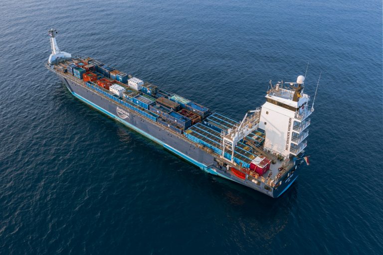
Vessels Historical Location API
Historical AIS data is a valuable data source that can be used for vessel traffic analyses, port calls data, and even accident investigations and it can be accessed through an API key.
Historical AIS data provides information about:
- The historical trajectory of vessels
- Time frames of vessel movements
- Number of vessels in a port
- Number of vessels in a location

How can I get AIS historical data?
The Historical Location API allows us to check in detail all the past movements of vessels in a specific area and timeframe.
There are two different endpoints available to provide you with historical AIS data that match your requirements:
– Historical vessel location tracking API.
– Historical vessel location traffic API.
What is the historical vessel location tracking API?
With the historical vessel location tracking API, you can search for past data and movements for your selected ship. By choosing a time period in the past, you will be able to view historical data about vessel location, speed, navigational status, and destination using the historical vessel location data API.
How does the historical vessel location tracking API work?
You can filter the historical date range for the vessel you want to see past AIS data in multiple ways:
- You can get the historical data for one vessel without specifying the date range.
- You can get the historical data for one vessel by specifying the number of days. For example, using the parameter "days=5" will give you all the data on your vessel from today up to five days ago.
- You can get the historical data for one vessel by creating a custom date range using the "from" and "to" parameters. For example, you can specify a date range from 1st to 30th September.
Historical vessel location API response example:
"data": {
  "uuid": "9c4c0a78-0dca-312c-f851-65d59e55b8dc",
  "name": "PHENIX LEGEND",
  "mmsi": "431661000",
  "imo": "9595539",
  "eni": null,
  "country_iso": "JP",
  "type": "Tanker",
  "type_specific": "LPG Tanker",
  "positions": [
	{
  	"lat": 34.514266666666664,
  	"lon": 134.65548333333334,
  	"speed": 14.4,
  	"course": 247,
  	"heading": 246,
  	"navigation_status": "Under way using engine",
  	"destination": ">JP OTK OFF",
  	"last_position_epoch": 1632747479,
  	"last_position_UTC": "2021-09-27T12:57:59Z"
	},
	{
  	"lat": 34.49081666666667,
  	"lon": 134.58761666666666,
  	"speed": 14.4,
  	"course": 246,
  	"heading": 246,
  	"navigation_status": "Under way using engine",
  	"destination": ">JP OTK OFF",
  	"last_position_epoch": 1632748392,
  	"last_position_UTC": "2021-09-27T13:13:12Z"
	},
	{
  	"lat": 35.48316666666667,
  	"lon": 139.90493333333333,
  	"speed": 0.1,
  	"course": 54,
  	"heading": 44,
  	"navigation_status": "At anchor",
  	"destination": ">JP ANE OFF",
  	"last_position_epoch": 1632618735,
  	"last_position_UTC": "2021-09-26T01:12:15Z"
	}
  ]
}
What is Historical Vessel Location Traffic?
The historical vessel tracking allows you to select any location in the past and view all vessels recorded in that area and search within the time frame of your choice. You can select an existing port and choose to search all the past movements of vessels around it or define the longitude and latitude of the search area.
It gives you information about:
- The past movements of all vessels in a specific port/area in a specific time frame.
- The past port movements and finding all vessels that have visited specific port/s or other areas in a specific time frame.

How Does the Historical Vessel Location Traffic Work?
The historical vessel location traffic is generated in the form of a report. Since the API processes millions of data points, it would be more beneficial to request the data in report form through the API.
Once the data request is queued and processed, a link will be generated to access the report in your preferred format, such as JSON, XML, or CSV.
Reports are processed asynchronously using a single endpoint, the historical vessel location traffic API.
https://api.datalastic.com/api/v0/report
To submit a report you have to use the POST method and JSON payload.
After you request the report, and your request status is “Done” then you can access the report and all the vessels captured within the zone. You can find further instructions on how to create a historical location AIS data API report request in the API References.
The API response will cover the list of vessels in accordance with your search parameters which are the zone and the timestamp.
- Vessel UUID: Unique identifier for a vessel, used for tracking and referencing.
- Longitude: Longitude of the vessel.
- Latitude: Latitude of the vessel.
- Last Vessel Position: Date and time of the most recent reported location.
- Vessel Speed: Rate of the vessel’s movement through the water.
- Ship Course: Direction in which the vessel is moving.
- Ship Heading: Direction in which the vessel’s bow is pointing.
- Vessel Navigational Status: Current operational condition of the vessel.
- Vessel Reported Destination: Intended arrival location reported by the vessel.
- Distance: The Distance between the current position and the reported destination.
